
Search a Fairfax Street by Address
A Fairfax street directory is most useful as a chain of records keyed to one location. Begin with the current site address, not a person’s name. The first match can identify a parcel, its owner and its tax mailing address. The parcel then supplies the map number, subdivision detail, and legal description needed to move into land records. A voter product, permit, or older directory can add a time-specific connection, but each is evidence with limits. A tax owner may not occupy the property, and a postal address can cross a city or county boundary.
- Enter the address in Fairfax County Department of Tax Administration iCare. For a broad street pass, leave off the suffix first and record each returned map number or PIN with its situs address.
- Open the parcel card. Compare the owner, mailing address, physical characteristics, sale history, subdivision context, and map link instead of treating one field as a household roster.
- Use the iCare map or Fairfax GIS tools to confirm the parcel shape, nearby road, jurisdiction, and adjacent parcels. Map layers provide context, not legal proof.
- Carry the PIN, lot or block, and legal description to the Fairfax Circuit Court Land Records research route. Search the owner as grantor and grantee, then read the deed and any prior-deed reference.
- Add only date-appropriate records. A Virginia voter-list request, a PLUS permit, or a historical reverse directory can support a narrow question, but no single source identifies every person at an address.
That order avoids a common error: using an address result as proof of present residency. The street-by-street trail works best when each field is kept with its source and date.
Normalize Fairfax Street Addresses
Fairfax address research begins by preserving what was written on the deed, letter, directory, or permit, then testing the modern form. iCare accepts a street number, unit, street text, and optional suffix. Its wildcard can help with a distinctive street fragment, while omitting a suffix can broaden a street browse. Try the directional and unit when a first attempt misses. A current street name may not appear in an older deed, which can instead use a rural route, farm name, road alias, or lot-and-block description.
The Fairfax Bonds and Addressing Center assigns county site addresses, but a change does not reach every system at once. The Master Address Repository, or MAR, keeps address status, effective, change, and expiration fields. Those fields can explain why a permit, deed, tax card, and postal label do not agree. A road-name change requires a petition signed by at least 51 percent of affected lot owners, so an old road reference deserves a jurisdiction and history check rather than a quick substitution.
Note: An approved Fairfax address change updates GIS, MAR, iCare, and PLUS on different schedules, so temporary mismatches are expected.
Browse Fairfax Streets in iCare
The free iCare interface exposes Address, Map Number, and Map Search modes. It does not display a free owner-name search tab. For a street directory search, use the Address mode with the street field and inspect the results by Map Number, Owner, Property Address, or Last Sale. Results can be ordered in either direction and shown in groups of 15, 20, 25, 30, or 50. The Map Number mode also accepts a complete or partial map number, which is useful after a map or deed supplies the parcel identifier.
| Fairfax iCare field | Entry type | Street-search use |
|---|---|---|
| Number | Optional text, up to 5 characters | Enter one address or leave blank for a street-level browse. |
| Unit# | Optional text, up to 4 characters | Distinguishes an apartment or unit when the source gives one. |
| Street | Optional text, up to 20 characters | Use the road name; a wildcard can help with a distinctive fragment. |
| Suffix | Optional select | Choose a suffix such as AVE, BLVD, CIR, CT, DR, LN, PKWY, RD, ST, TER, TRL, WAY, or XING when needed. |
| Sort and direction | Optional selects | Sort by Map #, Owner, Property Address, or Last Sale, then set ascending or descending order. |
| Map Number | Text in map mode | Enter all or part of the PIN-linked map number after identifying a parcel. |
The iCare map-number property search is the captured official screen for this address route.
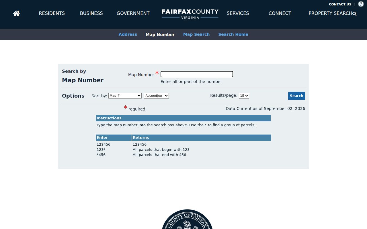
Use a map-number result to return to the correct parcel card, then compare its situs and mailing fields before taking the search into deeds or permits.
Map Fairfax Streets Through MAR
MAR is Fairfax County’s authoritative site-address layer, while the Department of Tax Administration remains the authority for parcel data. MAR can carry street and unit components, postal city, ZIP, parcel PIN, jurisdiction, subdivision, and address-status dates. The iCare map has a parcel selection tool, record navigator, selection manager, and distance buffer. A buffer can be measured in feet or meters and drawn from center points or polygons, but the service limits a mapped result to 1,000 parcels.
For a street directory pass, use the map to log the target PIN, each adjacent PIN, road frontage, and the linked property record. Jade, the Digital Map Viewer, and historical imagery add district, zoning, planning, and road-layout context. Historical imagery reaches back to 1937, but it does not replace the legal description in a deed or plat. GIS itself identifies its layers as reference information and directs parcel-data corrections to DTA.
Fairfax Street Records by Address
Different Fairfax records use the address in different ways. The assessment parcel card connects a situs to a tax owner and mailing address. MAR supplies the authorized address attributes. A deed uses legal description and grantor or grantee names, not a modern road field. PLUS follows a site address or parcel for development work. Election material has separate access rules. This coverage table keeps those systems distinct, which matters when a street directory result appears to conflict.
| Address-keyed source | Fairfax keeper | Useful street fields | Access path |
|---|---|---|---|
| Assessment parcel card | DTA iCare / CPAN | Owner, situs and mailing address, PIN, values, physical traits, sale data | Current free iCare address or map search; owner-name search is described in the paid CPAN layer. |
| Parcel GIS and MAR | Fairfax GIS / Jade / iCare map | Parcel shape, adjacency, jurisdiction, districts, ZIP, address status, historical imagery | Current reference layers; historical imagery reaches back to 1937. |
| Deed, plat, or lien | Fairfax Circuit Court Land Records / CPAN / HRC | Grantor, grantee, recording date, instrument or book/page, legal description | Land research from 1742 forward; use CPAN, Suite 317 terminals, or Historic Records Center material. |
| Permit or code case | Land Development Services PLUS | Site address, parcel, project, dates, status, applicant or contractor | Current and migrated records online; older history may be held separately. |
| Voter street and district data | Virginia Department of Elections / Fairfax Elections | Address range, ZIP, precinct, and district context; eligible list products have statutory limits | Citizen Portal for protected individual access; request form for qualifying voter-list products. |
| Historic reverse directories | Fairfax County Public Library Virginia Room | Address-to-occupant context when a reverse section exists | Ask staff to confirm a volume’s publisher, year, and address section before relying on it. |
The PIN and legal description are the stronger bridges between systems. A street name alone is not enough because road names, numbering, and postal place labels can change. Current tax data updates twice weekly, while a historic deed or street file answers a question from its own date.
Link Fairfax Streets to Deeds
The Fairfax Circuit Court Land Records Division records deeds, deeds of trust, easements, plats, and related instruments for Fairfax County and the City of Fairfax. Its index is organized around grantor and grantee names plus an instrument or book and page, not the current street address. Use the iCare PIN, subdivision, lot or block, and legal description to make that bridge. CPAN provides the current subscriber layer; courthouse research terminals and the Historic Records Center are the office and earlier-book alternatives.
Online access is not the only route. The public Land Records research room at Fairfax Courthouse, 4110 Chain Bridge Road, Suite 317, is open Monday through Friday from 8 a.m. to 4:30 p.m.; its phone is 703-691-7320, then press 3 and 3. The Historic Records Center is the stronger route for earlier deed books and benefits from an appointment or staff guidance. A mail copy request needs the instrument or deed-book and page information, a written request, payment, and a self-addressed stamped envelope.
Read an “And Being” clause carefully. It commonly points to an earlier deed book and page, but the current indexing may show only the most recent number. Also test surname variants, a signature-page name, spouses, trusts, estates, and corporate names. A gap can be a document-indexing issue rather than a break in ownership. The historic research room holds deed books from 1742 to 1942 and grantor/grantee indexes from 1866 to 1946, while some series and pages are missing.
- Parcel or PIN
- The tax map identifier that ties an iCare property card to map and land-record research.
- Situs address
- The physical location of the parcel, which can differ from the owner’s tax mailing address.
- Plat
- A recorded map that can show a subdivision’s lot lines, road dedication, easements, and block or section.
- Legal description
- The lot, block, subdivision, plat, or metes-and-bounds language that identifies land in a recorded instrument.
Note: A recorded owner or tax mailing address can identify an ownership relationship, not every person who uses the property.
PLUS and Fairfax Street Work
Land Development Services PLUS adds a building and code-history layer to a Fairfax street directory. Its search controls include Site Address, Parcel Number, Record Information, Contractor License Information, and Search All Records. The expanded fields include record number and type, project name, start and end dates, unit, city, state, ZIP, and country or region. A FIDO permit number can use a wildcard. Account registration is required to submit or track an application.
PLUS can show project chronology, a parcel or address, status, and an applicant or contractor. It should not be read as an occupant list. Older records that were not migrated may be in Land Development Information History, and county PLUS does not automatically cover City of Fairfax permits. For a city parcel, verify the legal jurisdiction and use the city’s code or FOIA route for its own records.
The official PLUS building search is shown in the captured Fairfax address-search screen.
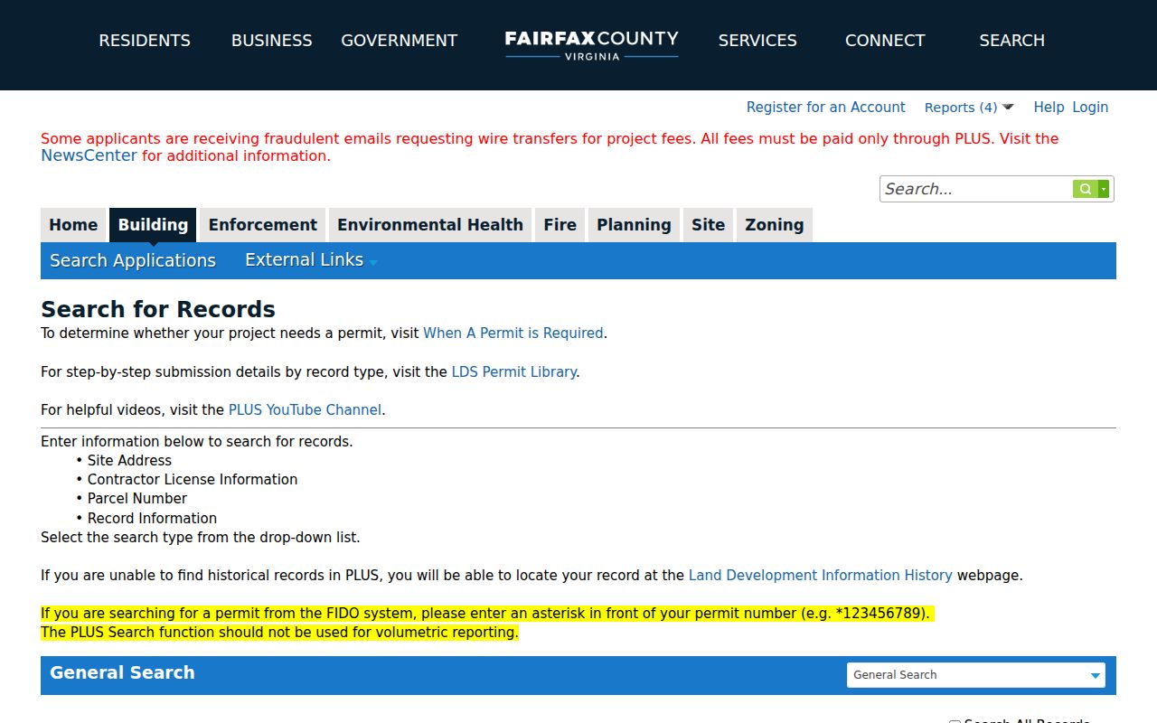
Use the site address, parcel, record number, or project details that match the question, then keep a permit or code result separate from ownership and residency evidence.
Fairfax Street Range Records
The 2015 Fairfax street file is a district crosswalk, not a resident list. It records street name, type, direction, low and high address ranges, odd or even side, ZIP, precinct, town precinct, and congressional, Senate, and House districts. It can help place a historical street range in the correct election geography for 2015. Do not use it as proof of a current district or a list of the people living on that road.
Virginia’s Citizen Portal is the official route for an individual checking a voter record or polling place, but it uses a protected identity and log-on workflow. Public voter-list products are requested through a form with statutory eligibility, client-type, product, and geographic-filter rules. Virginia Code §24.2-444 permits certain voter-list fields and protects other details; the ordinary public record omits Social Security numbers, full birth dates, and protected addresses.
Fairfax Postal Street Jurisdictions
A postal label is not a legal jurisdiction. A 22030 address can be in Fairfax County or the independent City of Fairfax. Falls Church and Alexandria postal labels can also serve county parcels, while property legally in Falls Church or Alexandria follows a different circuit-court route. Before requesting a deed, permit, or tax record, confirm the parcel jurisdiction in MAR, iCare, or the relevant official map.
This boundary quirk matters most when a familiar street name or ZIP looks certain. County address assignment and USPS city labeling serve different functions. The USPS ZIP Code Lookup can check delivery information for one address, while MAR supplies the county’s authoritative site-address fields. A matching postal city alone does not prove that Fairfax County maintains the record.
Fairfax Street Directory Privacy Limits
Street directory results do not reveal every occupant, guest, or person receiving mail at an address. DMV information is protected by the federal Driver’s Privacy Protection Act, and utility, customer, and delivery information are not public resident rolls. A tax owner may live elsewhere, hold title through a trust, estate, or entity, or use a mailing address outside the county. A permit applicant or code complainant may have no ownership or occupancy connection to the site.
Voter records have limits too. A protected voter may use a substitute address under Virginia law, and an inactive or recently updated record may not line up with an older street file. The Virginia Address Confidentiality Program is another reason a missing public address should not be filled in from an unofficial source. Use an absence or mismatch as a reason to verify the record path, not as a reason to draw conclusions about a person.
Lawful use. Fairfax street and address records may be used for personal, lawful research. Do not use them to stalk, harass, intimidate, or harm anyone; Virginia’s anti-stalking law is Va. Code §18.2-60.3.
Fairfax Street History Gaps
Fairfax County was formed in 1742, and the surviving land and court story reaches back to that colonial era. That length is valuable for a street or parcel trail, but it also comes with losses. The 1875 courthouse fire and Civil War-era disruptions left incomplete chancery and court series. The Historic Records Center identifies missing deed-book series and pages, so an ownership chain that stops is not automatically proof that no earlier transfer occurred.
Work around a documented gap with tax books, neighboring deeds, plats, newspapers, court orders, census schedules, and probate records. The Historic Records Center was completed in 2013 to provide a dedicated public-access setting for historic county material, and its staff guidance or an appointment can help locate older series. Record the missing volume or page in research notes rather than silently joining two owners across an unverified break.