
Fairfax ZIP Code Coverage
The county's official interactive map and demographic materials identify 45 significant ZIP-coded Fairfax County service areas. The table uses common postal-place names and county portions, not municipal boundary lines. Several rows deserve a jurisdiction check before a record request: Fairfax can mean the county or the independent City of Fairfax, and Falls Church or Alexandria labels can serve county parcels. Use this coverage table to identify the likely area, then verify a specific delivery address with USPS and the local record custodian.
| ZIP | Fairfax County service area | Postal place | Custody or boundary note |
|---|---|---|---|
| 20120 | Centreville | Centreville | County portion |
| 20121 | Centreville | Centreville | County portion |
| 20124 | Clifton and western Fairfax | Clifton | Rural-historic area |
| 20151 | Chantilly | Chantilly | County portion |
| 20170 | Herndon | Herndon | Town and county boundary issue |
| 20171 | Herndon and Reston-area county portion | Herndon | Postal label crosses neighborhoods |
| 20190 | Reston | Reston | Planned-community area |
| 20191 | Reston | Reston | County portion |
| 20194 | Reston north and east | Reston | County portion |
| 22003 | Annandale and central county | Annandale | County portion |
| 22015 | Burke | Burke | County portion |
| 22027 | Dunn Loring and Merrifield area | Dunn Loring | County portion |
| 22030 | Fairfax | Fairfax | County and independent-city postal overlap |
| 22031 | Fairfax and Annandale area | Fairfax | County portion |
| 22032 | Fairfax and George Mason area | Fairfax | County portion |
| 22033 | Fair Oaks and Fairfax | Fairfax | County portion |
| 22039 | Fairfax Station | Fairfax Station | Southern county portion |
| 22041 | Falls Church county portion | Falls Church | Postal label also serves independent city |
| 22042 | West Falls Church | Falls Church | County portion |
| 22043 | Idylwood and West Falls Church | Falls Church | Check jurisdiction |
| 22044 | Seven Corners and nearby county area | Falls Church | County portion |
| 22046 | Independent City of Falls Church label | Falls Church | Not automatically Fairfax County |
| 22060 | Fort Belvoir and southern county | Fort Belvoir | Military installation area |
| 22066 | Great Falls | Great Falls | County portion |
| 22079 | Lorton, Mason Neck, and Occoquan area | Lorton | County portion |
| 22101 | McLean | McLean | County portion |
| 22102 | McLean and Tysons | McLean | County portion |
| 22124 | Oakton | Oakton | County portion |
| 22150 | Springfield | Springfield | County portion |
| 22151 | North Springfield | Springfield | County portion |
| 22152 | West Springfield | Springfield | County portion |
| 22153 | South Springfield | Springfield | County portion |
| 22180 | Vienna | Vienna | Town and county postal area |
| 22181 | Vienna and Oakton | Vienna | County portion |
| 22182 | Vienna and Tysons | Vienna | County portion |
| 22302 | County portion near Alexandria | Alexandria | Independent City of Alexandria is separate |
| 22303 | Mount Vernon and Huntington | Alexandria | County portion |
| 22306 | Hybla Valley and Mount Vernon | Alexandria | County portion |
| 22307 | Belle Haven and Huntington | Alexandria | County portion |
| 22308 | Fort Hunt | Alexandria | County portion |
| 22309 | Mount Vernon | Alexandria | County portion |
| 22310 | Kingstowne and Franconia | Alexandria | County portion |
| 22311 | County portion near west Alexandria | Alexandria | County portion |
| 22312 | Annandale and Bailey's Crossroads | Alexandria | County portion |
| 22315 | Franconia and Newington | Alexandria | County portion |
These are the significant county service areas documented in the research. They are not a current USPS delivery-point list, and the table does not claim a separate post-office facility for every row. A delivery ZIP, a postal city, and a government custodian are different facts that should be checked separately.
Western Fairfax ZIP Areas
Centreville uses 20120 and 20121, while 20124 identifies Clifton and a western Fairfax rural-historic area. Chantilly's listed county portion is 20151. These postal areas are useful for finding the broad location of an old address, but older county records may use a road name, rural route, lot description, farm, church, or nearby community rather than the ZIP used today. A name search should retain those older place forms instead of forcing every historic result into its current postal label.
Herndon and Reston show why a ZIP should not be read as a town line. ZIP 20170 is a Herndon postal area with a town and county boundary issue, and 20171 crosses Herndon and Reston-area county neighborhoods. Reston uses 20190, 20191, and 20194. For an address near a boundary, confirm both the delivery result and the local jurisdiction before choosing a county, town, or city office.
Central Fairfax ZIP Areas
The Fairfax postal label covers a large central group: 22030, 22031, 22032, 22033, and 22039. The first of those can overlap Fairfax County and the independent City of Fairfax. Nearby postal areas include Annandale 22003, Burke 22015, Dunn Loring 22027, Great Falls 22066, McLean 22101, Oakton 22124, and the Vienna and Tysons group of 22180 through 22182. A place name on an envelope is a useful locator, not an automatic answer to which government holds a record.
Springfield is split among 22150, 22151, 22152, and 22153, each tied in the county materials to Springfield, North Springfield, West Springfield, or South Springfield. Planned-community and subdivision names can matter as much as a ZIP in Reston, Tysons, Centreville, Burke, McLean, Vienna, and Mount Vernon-area searches. Preserve a unit number and subdivision name when they appear in an address record.
Fairfax Postal Boundary Traps
Postal geography crosses legal lines throughout Fairfax County. A 22030 address can be in Fairfax County or the independent City of Fairfax. Falls Church ZIPs can serve county parcels as well as the independent City of Falls Church, and Alexandria ZIPs can serve Fairfax County territory even though the City of Alexandria is a separate jurisdiction. Vienna and Herndon labels likewise can cover town and unincorporated county addresses. Check the parcel, site address, or custodian before sending a records request.
Land records make the distinction practical. Fairfax Circuit Court land-record resources cover Fairfax County and the City of Fairfax, but the county's land-record guidance routes Falls Church property to Arlington Circuit Court and Alexandria property to Alexandria Circuit Court. A ZIP match should therefore be followed by a jurisdiction check, not used as a substitute for one.
Fairfax County ZIP Map
The Fairfax County interactive ZIP map is the county's ZIP-capable geography tool. It accepts an address, place, or ZIP search; uses a ZIP Code layer; permits pan and zoom; allows multiple selections; can clear a selection; and can save a selection or export all. Its demographic source is IPLS 2025 and the page says it updates annually. The result is a selected geographic or demographic area, not a name list.
| Search box | Enter an address, place, or ZIP to find an area. |
|---|---|
| ZIP Code layer | Use the county map layer to display ZIP geography. |
| Selection tools | Pan, zoom, select more than one area, or clear the selection. |
| Output | Save a selection or export all available map output. |
| Result limit | Selected geography and demographic context, not a resident roster. |
Open the county ZIP map source to use its search and export controls.
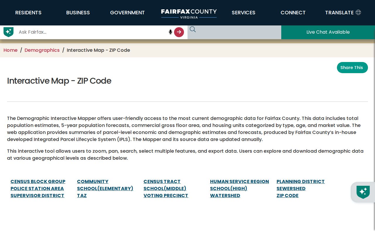
The map is best for confirming the shape of a Fairfax delivery area before moving to an address, parcel, or records source.
Verify Fairfax Delivery ZIP
Use the USPS ZIP Code Lookup for one exact delivery address or for a city-and-state ZIP check. USPS is the delivery-point authority in this workflow. It answers a different question from the county map, which shows a broader demographic geography, and from property or court records, which use their own jurisdiction and address fields. A precise USPS result is especially helpful before comparing an older postal label with a current address.
For a county site address, compare the USPS result with the Master Address Repository. MAR is the county's authoritative site-address layer and includes street, unit, city, state, ZIP, parcel PIN, jurisdiction, subdivision, and address-status dates. It is the better check when an address number, street name, or jurisdiction may have changed.
Use the USPS lookup source for delivery verification.
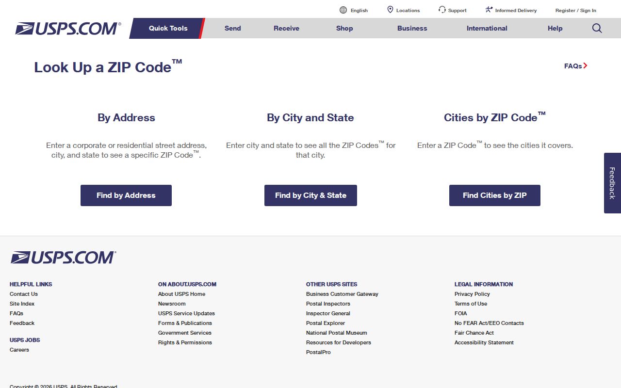
The USPS tool verifies postal delivery information, while county systems are still needed for a parcel, legal custodian, or address-history question.
Finding Fairfax Residents by ZIP
A ZIP can organize a careful person-related record inquiry, but Fairfax County does not publish a broad free ZIP-wide resident search. Begin with an exact address or known person, then use the ZIP to select the right postal and jurisdiction context. The map identifies an area; MAR validates a site address; and property, permit, court, library, or elections channels answer narrower questions within their own limits.
- Verify the full address in USPS, then record the postal ZIP and place label.
- Use the county interactive map to inspect the ZIP area and note whether it crosses a city, town, or county boundary.
- Check MAR for the authoritative site-address attributes, including jurisdiction, subdivision, status, and effective dates.
- For a parcel question, use Fairfax County Department of Tax Administration iCare by address, map number, or map search, then distinguish a tax owner from an occupant.
- When the question is street-specific after the ZIP is known, use the Fairfax street directory for the address-keyed workflow.
Virginia's Department of Elections Citizen Portal is an identity-protected route for a person checking their own voter record, polling place, districts, absentee status, or voting history. It is not an anonymous ZIP browser. Public voter-list products follow separate statutory request rules and should never be described as a complete household census.
Fairfax ZIP Search Limits
ZIP support differs by Fairfax system. Free iCare offers Address, Map Number, and Map Search modes rather than a broad ZIP-wide person search; ZIP is mainly an address or result attribute. The county's PLUS search includes a ZIP Code field with site address, parcel, record number, type, project, date, unit, city, and state fields. It can return address-keyed permit or development records, which can be incomplete for older material.
| Fairfax tool | ZIP capability | What it can support | Important limit |
|---|---|---|---|
| County ZIP map | Address, place, or ZIP search | ZIP geography and demographic selection | Not a name list |
| USPS lookup | Exact address or city/state check | Delivery ZIP verification | Not a property or custody source |
| MAR | ZIP as a site-address attribute | Address, jurisdiction, unit, PIN, and status dates | Postal geography alone does not prove jurisdiction |
| iCare | ZIP in address and result context | Address-keyed property and assessment records | No broad free ZIP-wide search mode |
| PLUS | ZIP Code search field | Address-keyed permit and development records | Older records may not be migrated |
| Virginia voter-list form | Locality, district, and election filters | Eligible statutory list products | Standard public form does not expose ZIP as a filter |
The Virginia Voter List Request Form is a request form, not an open download. It asks for requester information, a client-use category, geographic filters such as locality or district, a product, and delivery information. Its instructions and Virginia law govern access and use. ZIP is not presented as a standard public filter in the inspected form.
Note: A Fairfax ZIP can refine an address search, but it cannot convert a map, permit result, or voter-product request into a complete resident roll.
Fairfax Address Change Clock
Fairfax County's Bonds and Addressing Center assigns site addresses for emergency response, deliveries, and official systems. An approved address change enters MAR through a PLUS application. The county reports that GIS, MAR, iCare, and PLUS update on the next business day after approval, while other systems can take up to a week. A weekly new- and expired-address report is sent to agencies and USPS. Short-term disagreement between a postal result and a county record can therefore be a timing issue.
The Addressing and Street Names page also explains that road-name changes require a petition signed by at least 51 percent of affected lot owners and a plat. Keep the retrieval date with each address result. The MAR effective, status, change, and expiration fields are useful when a historical record uses a street form that no longer appears in the same way.
Fairfax ZIP Code Terms
A ZIP code is a postal delivery geography. A ZIP+4 adds a smaller delivery segment to the basic ZIP. A PO-box ZIP is used for post-office boxes rather than proving a street delivery area. A unique ZIP can be assigned to a large institution, and a carrier route is a delivery sequence rather than a municipal boundary. None of those terms determines who owns a parcel, who occupies an address, or which local government is the record custodian.
- ZIP code
- A USPS delivery-area identifier, useful for mail routing and address verification.
- ZIP+4
- An added four-digit delivery segment used with a basic ZIP for more precise mail sorting.
- PO-box or special label
- A postal label that may identify boxes, an institution, or a tiny area instead of a typical residential service area.
- Carrier route
- A delivery sequence used by USPS, not a city, county, or records-office boundary.
County demographic materials depict additional tiny, institutional, PO-box, or zero-population labels, including 20152, 20164, 20196, 22009, 22019, 22035, 22037, 22038, 22067, 22106, 22116, 22121, 22122, 22160, and 22199. The research did not confirm their current USPS delivery status, so they are not presented as ordinary service areas here. Use USPS for an edge-case address and seek the responsible county or city office for records.